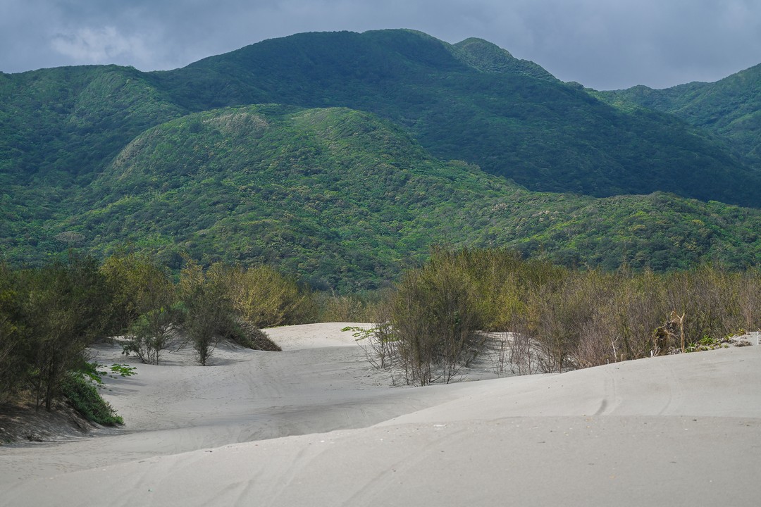
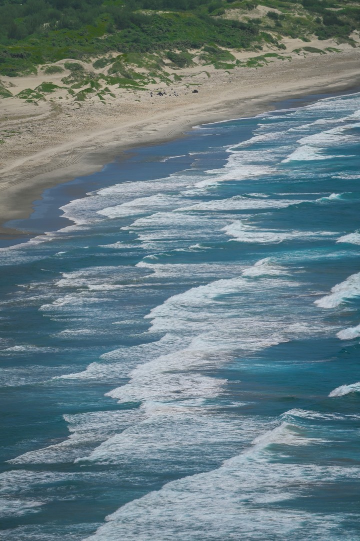
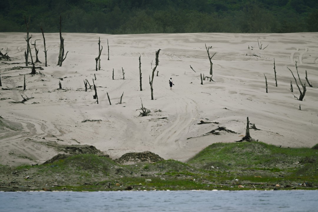
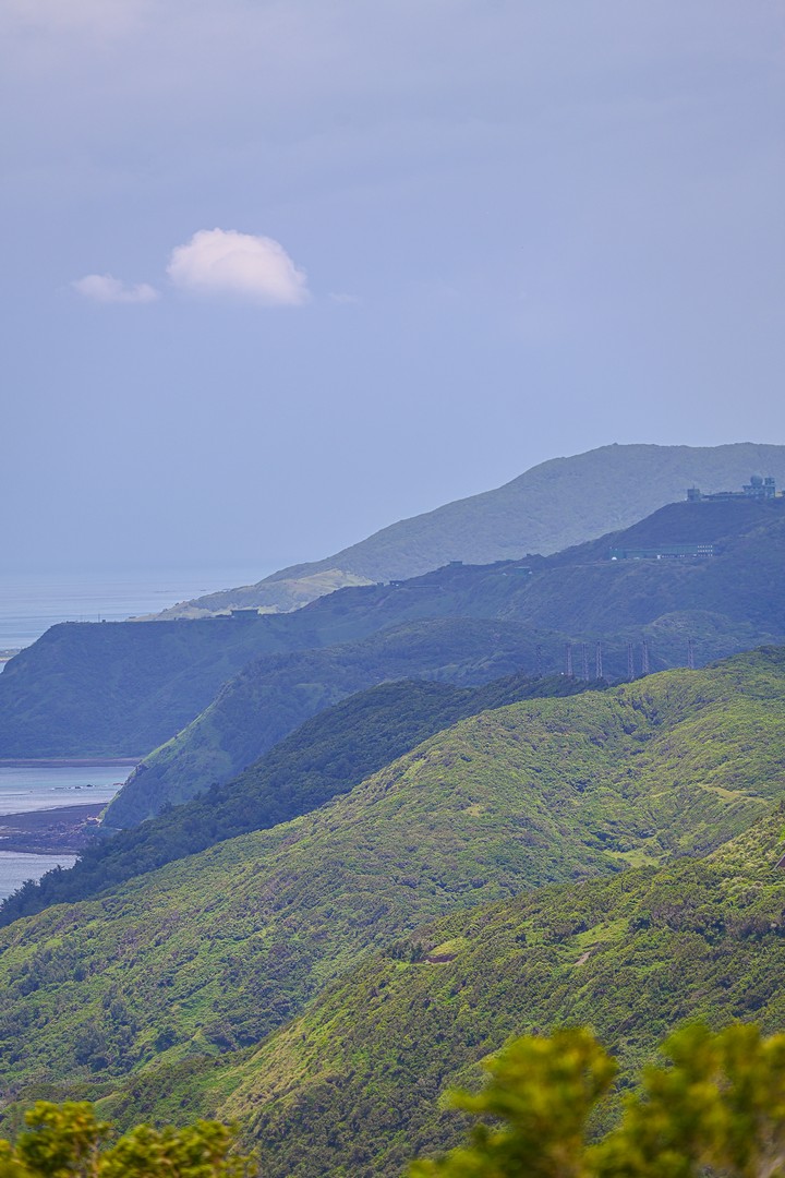
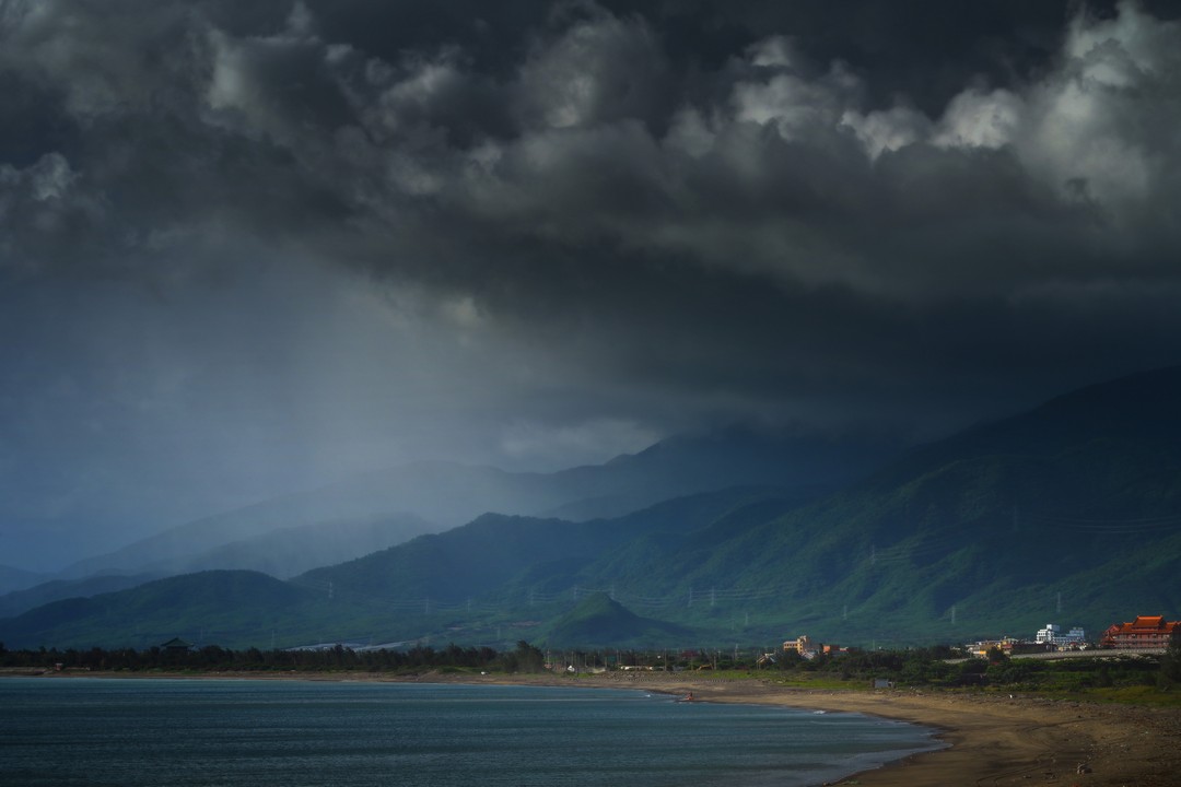
The Luoshanfeng is the common name for the northeast monsoon in Taiwan's Hengchun Peninsula. In detail, the Luoshanfeng is a type of downslope wind. The central mountain range in the Hengchun Peninsula decreases in height to around 400-1000 meters. From October to April of the following year, the northeast monsoon descends over the mountains and the strong downslope wind directly hits the western coast of the Hengchun Peninsula, affecting areas are included Checheng, Mudan, and Hengchun. The instantaneous strength of the Luoshanfeng can reach to level 6 or 7, which is equivalent to the power of a mild typhoon. It has been records of motorcycles and cars being blown over, resulting in casualties. It has also caused yellow sand to rise from the Jiupeng Desert and the Haikou Desert.
In terms of residential landscape, in the early days huts used to have roofs with stones, while today reinforced concrete is commonly used. Doors and windows are often equipped with iron sheets or roll-up doors and supplemented with double walls. Although the structure of the houses can effectively protect from the strong downhill winds, they are often dusty with yellow sand and dust in the air after being blown for several days in a row.
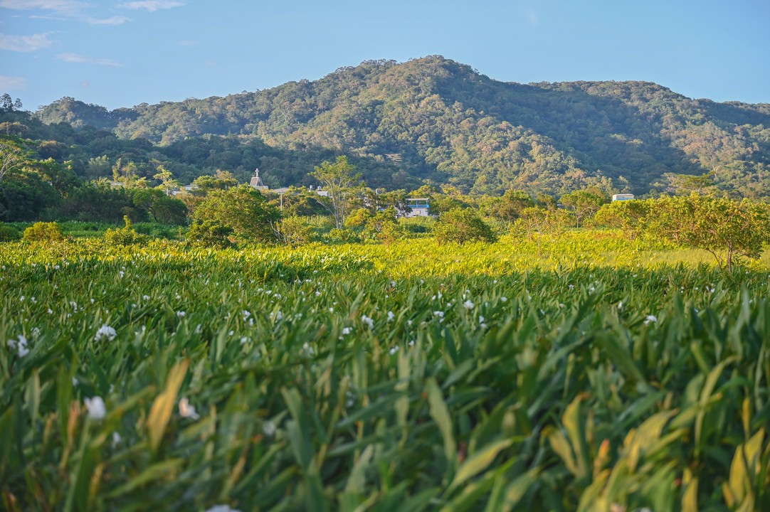
For crops, wind-tolerant crops such as agarwood in the early days, onions and pasture grasses nowadays. Cantaloupe and watermelon fields, which cannot adapt to the downhill wind, are also equipped with windbreak straw walls. Taking onions as an example, winter and spring are the growing periods of onions, and the winds make the leaves of onions fall down, inhibiting the growth of onion leaves and storing the nutrients in the underground bulbs, which makes the onions taste sweet and have good quality.
In terms of transportation, the Taiwan Railway Administration of the Ministry of Transportation and Communications South Bound Line in Shizi Township, Dawu Township, the section of the central mountain valley through the mountain range will appear in the mountain wind, so the Ministry of Transportation and Communications Bureau of Railway Engineering Department of the South Bound Railway in order to cope with this geographical environment, in addition to bridge beams on both sides of the railroad installed in the installation of wind nets, and set up all-weather weather meter to sense the instantaneous strength of the wind, in order to ensure the safety of Taiwan Railway traffic. Because of the terrain, the wind pressure and wind speed in different degrees, with the change of terrain wind, there may be a narrow tube effect or valley effect, which is potentially dangerous to aviation, so the leeward slopes are not suitable for setting up airports, and after the Civil Aviation Administration of the Ministry of Transportation and Communications opened Hengchun Airport in 2004, in the monsoon season, often affected by the wind and the flights are delayed or grounded.
In terms of tourism, the Wind Chime Season event has been developed, and there are also many stalls selling wind chimes on Kenting Street.
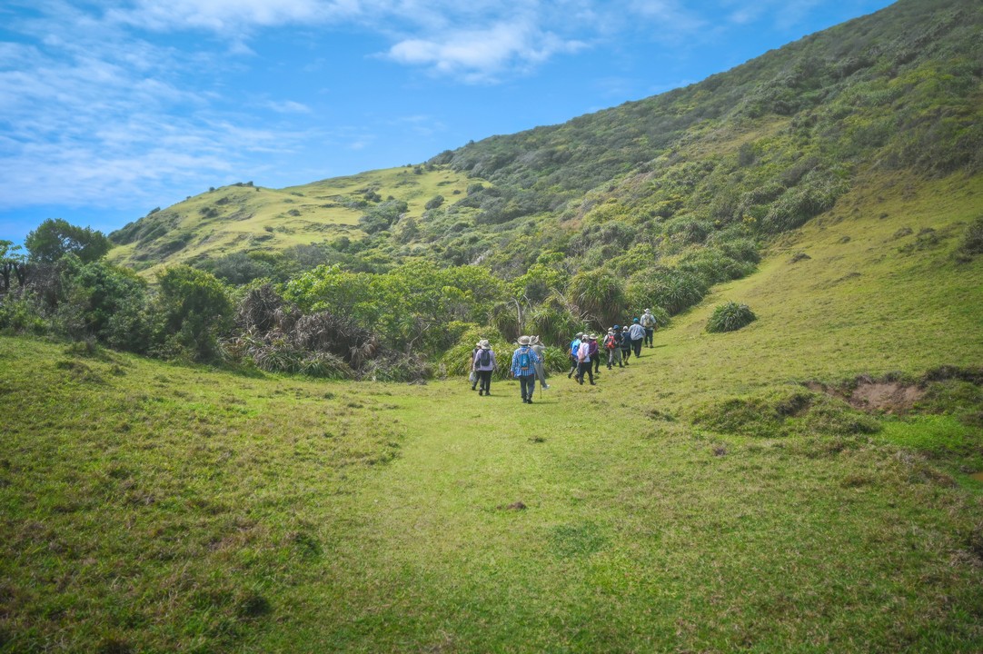
The County Hwy 199 connects various tourist attractions such as Fu An Temple, Shimen Ancient Battlefield, Mudan Reservoir, Dongyuan Wetland (Water Grassland), and Dongyuan Lake. It also intersects with roads such as County Hwy 200 and Hwy 172, which lead to the sand dunes of Gangzi and Jiupeng, Gaoshi Mudan Shrine Park, Cacevakan Stone slate Houses Historical Site, and Mt.Sihlinge Recreation Area. Along these roads, there are many indigenous tribes, showcasing a diverse and rich culture.
The Luoshanfeng Scenic Area covers the towns of Checheng, Mudan, and Manzhou, with a total area of about 11,300 hectares. The boundaries of the area are defined by ridge lines, township boundaries, river boundaries, forest boundaries, cadastral boundaries, roads, and national park boundaries. The area is connected to Kenting National Park through transportation routes, including Provincial Highway No. 26, County Road No. 199, County Road No. 199A, and County Road No. 200. The area does not include land managed by the Taitung Forest District of the Forestry and Nature Conservation Agency, the Armaments Bureau of the Ministry of National Defense, and the Experimental Base of NCSIST. The area includes 9 villages in Checheng Township, including Haikou, Tianzhong, Fu'an, Fuxing, Xinjie, Puqian, Sheliau, Tongpu, and Wenshui, 6 villages in Mudan Township, including Shimen, Mudan, Dongyuan, Xuhai, Gaoshi, and Silin, and 3 villages in Manzhou Township, including Gangzai, Changle, and Jiupeng.
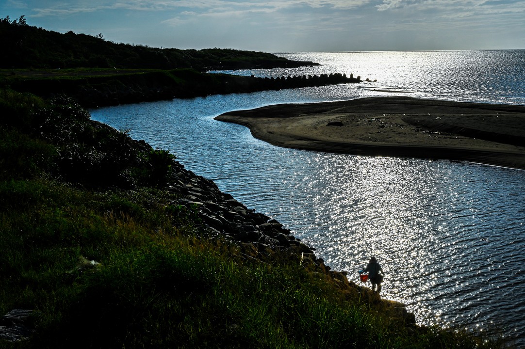
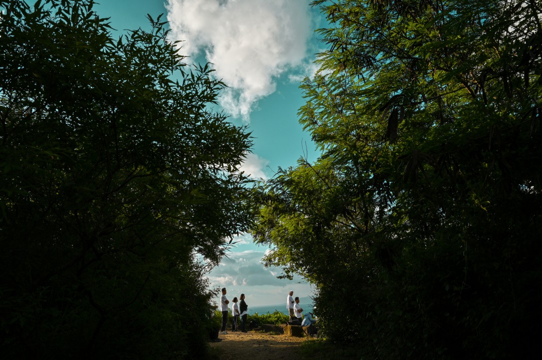
Photographer : kyo
.jpg)
.jpg)
 (2).jpg)
.jpg)
.jpg)
.jpg)
.jpg)
.jpg)


.jpg)

.jpg)


.jpg)

.jpg)


.jpg)
.jpg)


All rights reserved by Pingtung County Government.


